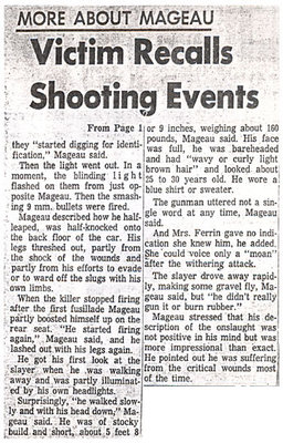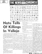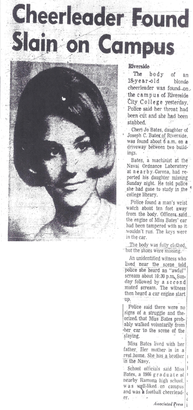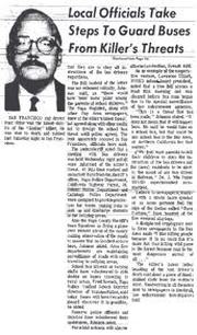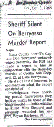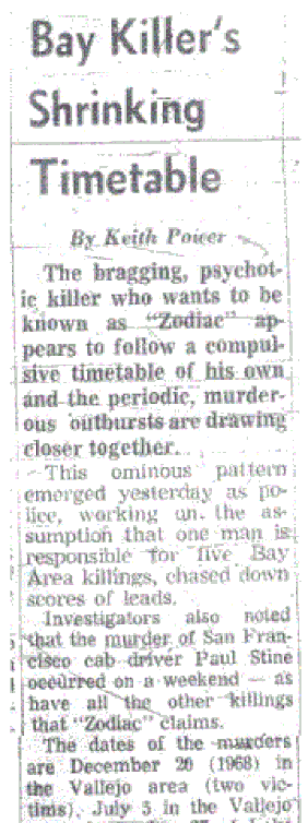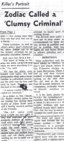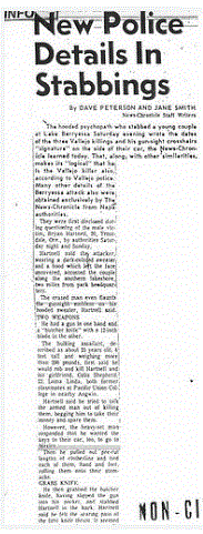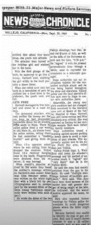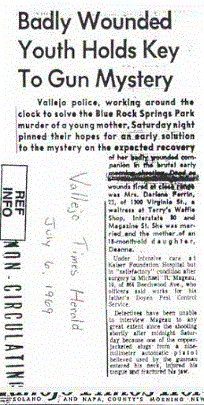
In the case of the Zodiac Killer, we have Springs Road & Tuolumne Street, 1231 Main Street, Lake Herman Road, Blue Rock Springs, Lake Berryessa and Presidio Heights as our bedrock. We then have his movements subsequent to each crime, the hour each crime was committed, and the wording he used in his letters describing each crime. Everything tells you something about the killer. We can utilize geographic profiling tools such as distance decay, target backcloth, buffer zone and the least effort principle (to name but a few), and use these in identifying the possible home location of the Zodiac Killer. Techniques that our killer would have been unaware of in 1968 and 1969, other the a rudimentary knowledge of preservation and deflection.
In two extremely informative videos on the Profiling Evil channel [1] [2], Dr. Spencer Chainey uses the "geography of crime" to examine several crimes. He demonstrates some of the above principles and a lot more besides, while showing us how police were able to identify Levi Bellfield, a serial killer from London, England, who was responsible for the murders of Marsha McDonnell, Amélie Delagrang and Milly Dowler between 2002 and 2004. He then covers the sexual assaults in Bath, England in 2004/2005 perpetrated by Adrian Warburton, along with the "Irvine Chair Burglaries" in Orange County over a period of two years, in which Raymond Lopez was eventually arrested in 2005. The "geography of crime" in each case, pivotal to apprehension. In the second video he analyzes the murders of "Jack the Ripper", who terrorized the streets of Whitechapel in London, England in 1888, again using maps to show us how the geography of his murders speaks volumes to where he likely lived. This tool is so undervalued in the Zodiac case.


 RSS Feed

