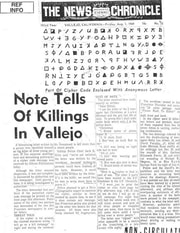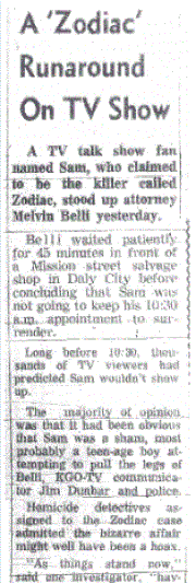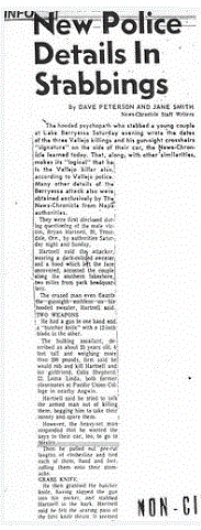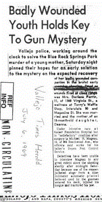
After the Blue Rock Springs Attack he made a telephone call, received by police dlspatcher Nancy Slover from a phone booth at the gas station of Springs Road and Tuolumne on July 5th at 12:40 am. The approximate time of the attack was 12.02 am, so if we take this as a guide, what was the killer doing for the following 38 minutes before the call was placed? The payphone location was not 38 minutes traveling time from Blue Rock Springs, so did the killer proceed home first to stash his gun and get changed, then venture back out to the payphone? If so, he would live relatively close to the area. Or was he simply delayed in making the call by unforseen events such as possible witnesses in the area?
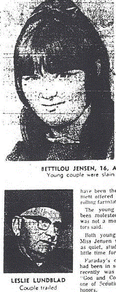
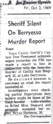
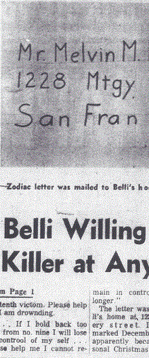
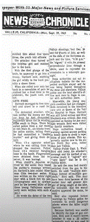
After the Lake Berryessa attack on Bryan Hartnell and Cecelia Shepard on September 27th 1969 he stopped in downtown Napa at the 1231 Main Street payphone booth to make his call, presumably on his way home. The journey from Lake Berryessa to Napa is on a direct route back to Vallejo.
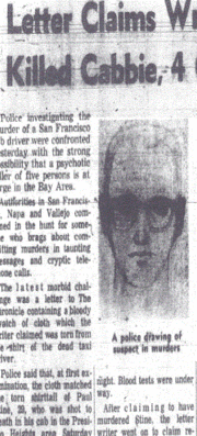
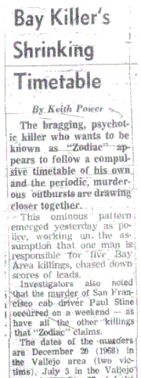
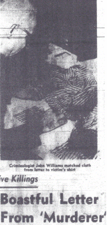
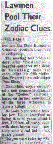
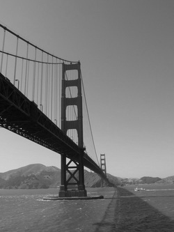
There is also much speculation about whether the murder of taxicab driver Paul Stine at Presidio Heights was premeditated or spur of the moment. So let us examine the facts. The trip sheet was logged to Washington and Maple, but Paul Stine had pulled up at the intersection of Washington and Cherry, one block westward, therefore it could be argued that the murderer had planned to kill the taxicab driver at the original destination of Washington and Maple, having possibly left his car at the intersection of Jackson and Maple, which was a direct route away from the original intended crime scene, but had to alter his plans due to too much activity at this intersection. He therefore instructed Paul Stine to the following intersection, from where he made his escape, traveling north up Cherry Street and east on Jackson to his waiting vehicle. If he lived in Vallejo, he then had only a short distance before exiting San Francisco over the Golden Gate Bridge. So was the murder planned? If he had strategically placed a waiting vehicle for his escape, then the likely answer is yes. The removal of a piece of Paul Stine's shirt indicated a preordained objective that necessitated a quick separation from the crime scene and police dragnet.
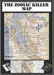
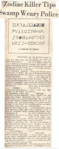
The centralized area of these crime scenes, especially if we choose to incorporate the Kathleen Johns Modesto abduction and the disappearance of Donna Lass at South Lake Tahoe into the equation, always tends to focus the eye back to the Vallejo area and possibly the home of Northern California's most elusive killer. Indeed, during the highly publicized 2007 David Fincher film Zodiac, Paramount Pictures utilized the services of Kim Rossmo to profile geographically the possible area where the Zodiac lived. Rossmo, using the software Rigel, entered various details in the Zodiac case, some of which were the murder locations, travel routes and phone calls, and came up with some key areas of interest. These areas were [1] southeastern Napa County, including American Canyon and north Vallejo. [2] eastern Solano County, including east and north Vallejo, Mare Island and Benicia. [3] northern Contra Costa County, just south of the Carquinez Strait, including Crockett. All of these areas are viable destinations to reach from Blue Rock Springs Park, returning back to the Springs and Tuolumne intersection in 38 minutes to make the payphone call to police


 RSS Feed
