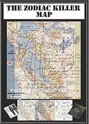
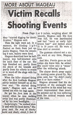
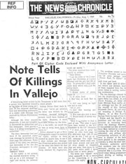
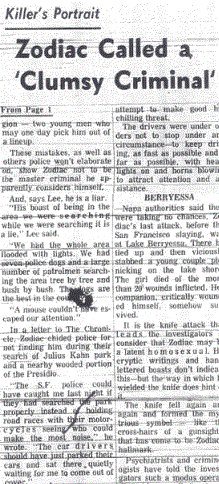
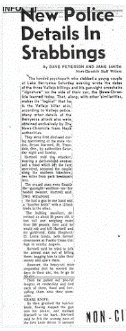
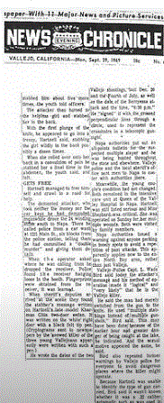
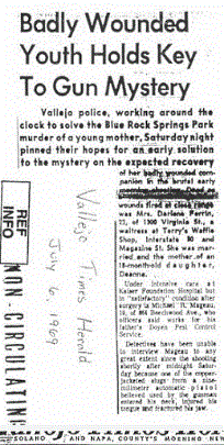
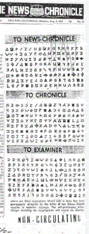
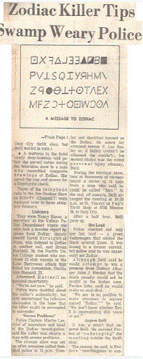
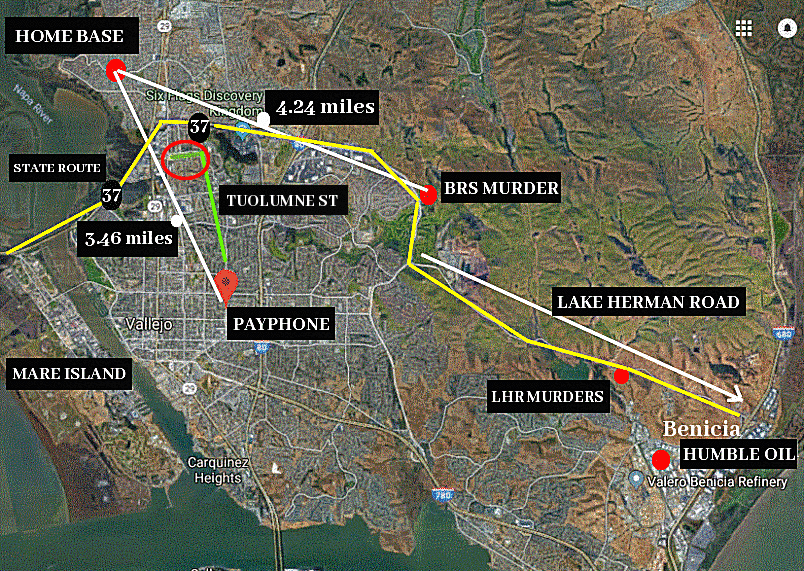
Below is a map showing all the relevant locations concerning the killer's first two crimes - the red circle at the northern end of Tuolumne Street being of significant interest, as it also brings into focus the easy access to and from the payphone after his murder and attempted murder of Darlene Ferrin and Michael Mageau at the Blue Rock Springs parking lot on July 5th 1969. The journey time to the payphone from the crime scene of less than 10 minutes, and the phone call to police nearly 40 minutes after the attack lends good weight to the premise the killer was a native Vallejoan, and possibly returned home to ditch his weapon and/or clothes before returning to place the call to police dispatcher Nancy Slover.
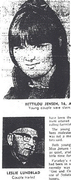
The northern side of the green line on the map above, shows that access to State Route 37 would take somebody towards the northern side of Columbus Parkway, before heading southeast along Lake Herman Road towards Benicia, and crucially encompassing both crime scenes. If the killer lived in the northern region of Vallejo and worked in Benicia, his 'compass' knowledge of specific locations would not be surprising. This was evident in his first attack when he stated in the July 31st 1969 letters, that Betty Lou Jensen "was on her right side feet to the west." Of course, he had six and a half months to work this out, but had only 36-38 minutes after the Blue Rock Springs attack, in which he was able to direct Vallejo police to the crime scene along Springs Road and Columbus Parkway with completely accurate directions when he called Nancy Slover, stating "I wish to report a double murder. If you will go one mile east...... on Columbus Parkway to the public park, you will find the kids in a brown car. They have been shot with a 9 mm Luger. I also killed those kids last year.... Good-bye."
Knowledge such as this, could suggest complete familiarity with the public park, golf course, Lake Herman Road and the location of the police station with respect to the Springs and Tuolumne payphone. The killer would have one direct route, to and from his residence to the payphone at the intersection of Springs Road and Tuolumne Street. His route to work (possibly a night-shift) also giving him first hand knowledge of courting couples and where to trawl for victims at the weekend.
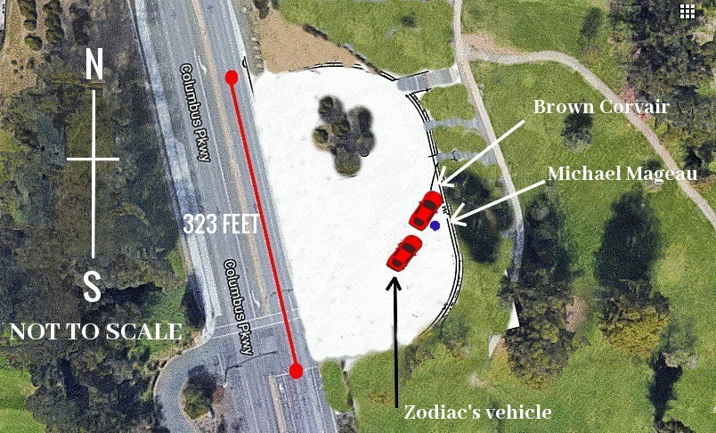
However, there is one thorn in our side - the testimony of Michael Mageau. He stated in the police report "as he fell out onto the ground the vehicle the subject was in backed up in a turning movement and then took off toward Springs Road in Vallejo at a very high rate of speed." The obvious route back home for the killer, had he lived somewhere by the top of Tuolumne Street, and wanted to ditch his weapon and clothes before making the call to police, would have been to head north and west along Columbus Parkway - the opposite direction that he chose for work. There may be several explanations for this.
Michael Mageau was simply mistaken, the killer's initial intention was to make the phone call immediately but changed his mind, preferring to remove his weapon and possibly bloody clothing from the equation, or the intended payphone at the initial time of his arrival had potential eyewitnesses, forcing a hasty change of plan. This may have been his preferred choice of payphone, as it provided easy access to and from his home residence, yet allowed a reasonable 'buffer zone' of just over two miles. It had the added benefit of a voyeur killer who wanted to remain in his vehicle and watch responding officers scurry into action from the police station, along Springs Road to the crime scene. It may actually have been the primary reason he chose this particular payphone so close to the police station, despite it seemingly being an added unnecessary risk on his part.
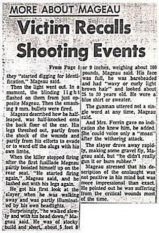
Three young kids, Debbie, Jerry and Roger were the first to find Michael Mageau just after he had extracted himself from the brown Corvair and was lying adjacent to it. They must have arrived extremely close to the time of the attack - possibly as little as a minute or two after the brutal shooting. The time of the attack can be calculated with a fair degree of confidence to 12.02 am on July 5th 1969. See here.
Police dispatcher Nancy Slover received a phone call from Jerry's house at 938 Catlewood Drive, Vallejo from Debbie at 12.10 am. The drive to 938 Castlewood Drive from Blue Rock Springs is approximately 6 minutes, indicating they would have had to leave the parking lot by about 12.04 am to make this phone call in time.
Yet, this isn't the time they arrived at the parking lot, which must have been around a minute earlier at 12.03 am - just after the attack at 12.02 am. The Zodiac Killer may literally have been leaving the Blue Rock Springs parking lot as they were approaching it. This may have influenced the direction Zodiac exited from the crime scene.
Debbie, Jerry and Roger stated in the police report that "they had been downtown to see the festivities for the 4th of July. After this was over, at about 11 pm, they decided to look for this girl that Roger knows. They drove around town and did not see her and decided to go to Blue Rock Springs Park to look for her. They went out the freeway to Columbus Parkway and came into the park the back way. While they were driving in toward the park neither boy recalls seeing any vehicle coming out, none parked along the road, nor did they pass any vehicle." They must have been almost on top of Zodiac as they approached from the north side of Columbus Parkway. Had Zodiac intended to travel home before making the phone call, his obvious route north and then west along Columbus Parkway, was now not so obvious if he didn't want himself or his vehicle spotted by the three kids. They obviously didn't see him, but he may have spotted their vehicle approaching in the distance. This may have forced a change of plan and coerced Zodiac south toward Springs Road. The Zodiac Killer's journey time heading in this direction to somewhere close to the green circle at the top of Tuolumne Street, would take approximately 11-12 minutes. The Zodiac Killer would arrive home at about 12.14 am - leaving him approximately 20 minutes at his residence before driving back to the Springs and Tuolumne payphone to make the call. Once doing so, his escape home is a mere 4 minutes.
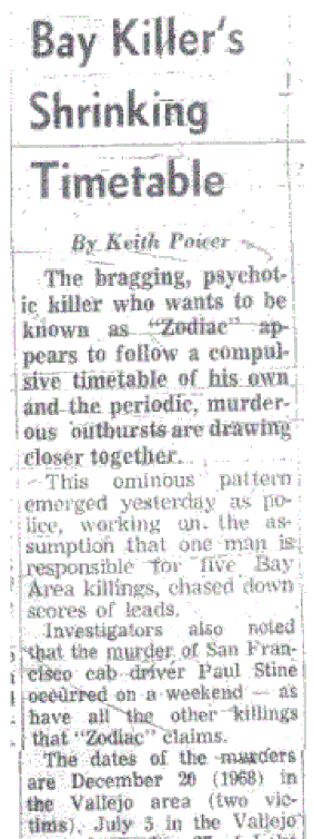
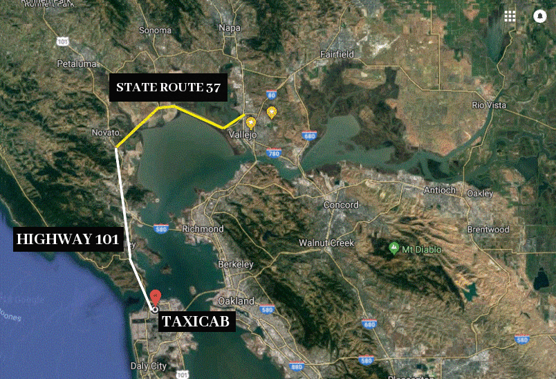
Calfornia State Route 37 and Highway 101 may have played a decisive factor when selecting a quick and easy separation from San Francisco after the murder of taxicab driver Paul Stine on October 11th 1969. Whether or not the murderer had entered the Presidio Park is a moot point today, but in 1969 the Zodiac Killer would certainly have wanted to escape from the area in as little time as possible. A vehicle parked somewhere along West Pacific Avenue or to the east of the park in Cow Hollow, would provide immediate access to Highway 101 across the Golden Gate Bridge, and in a handful of minutes out of San Francisco. The killer can then head north and eventually east just before Novato, taking California State Route 37 right onto his doorstep.
Kim Rossmo made an extremely salient point regarding the murder of Paul Stine. He stated: "The San Francisco murder differs significantly from the Zodiac's other crimes. Up to this point he was hunting in locations that had a good probability of containing his desired victims. Target selection was a function of area, not of an individual. However, it is unlikely the Zodiac was successful in all his searches; serial killers typically engage in extensive hunting activities, and for every attack there are many unsuccessful search attempts. In San Francisco, however, the Zodiac controlled the situation through his selection of victim type. The need for such control could be indicative of the distance the Zodiac had to travel to the crime site. Criminals who travel longer distances to offend are less likely to use uncertain target selection techniques." Control your location and you control your escape route.
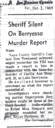
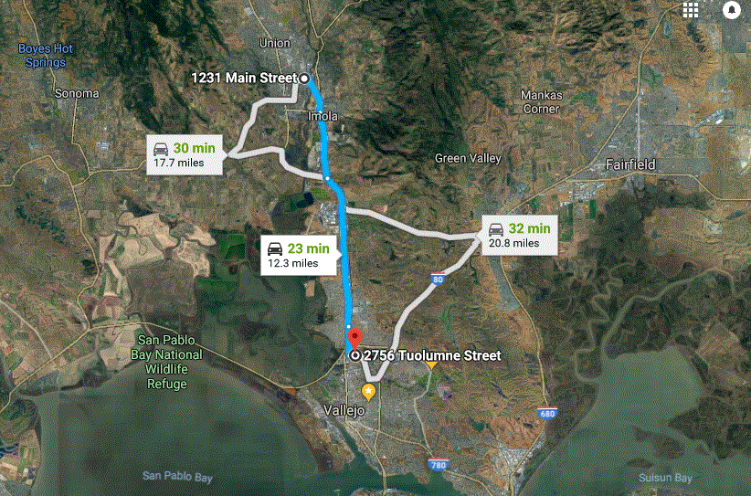
The Lake Berryessa attack on September 27th 1969 speaks for itself. The killer headed to downtown Napa and the payphone at 1231 Main Street. He may have been only 12 miles from California State Route 37 and home, had he continued the trajectory he had set for himself. Was the Zodiac Killer's apparent knowledge of a road on the fringes of Vallejo more indicative of his recreational habits or a route he traveled daily..... particularly when the sun went down?


 RSS Feed
